Drone Aerial Imaging
IMAGES THAT SHOW THE FULL PICTURE
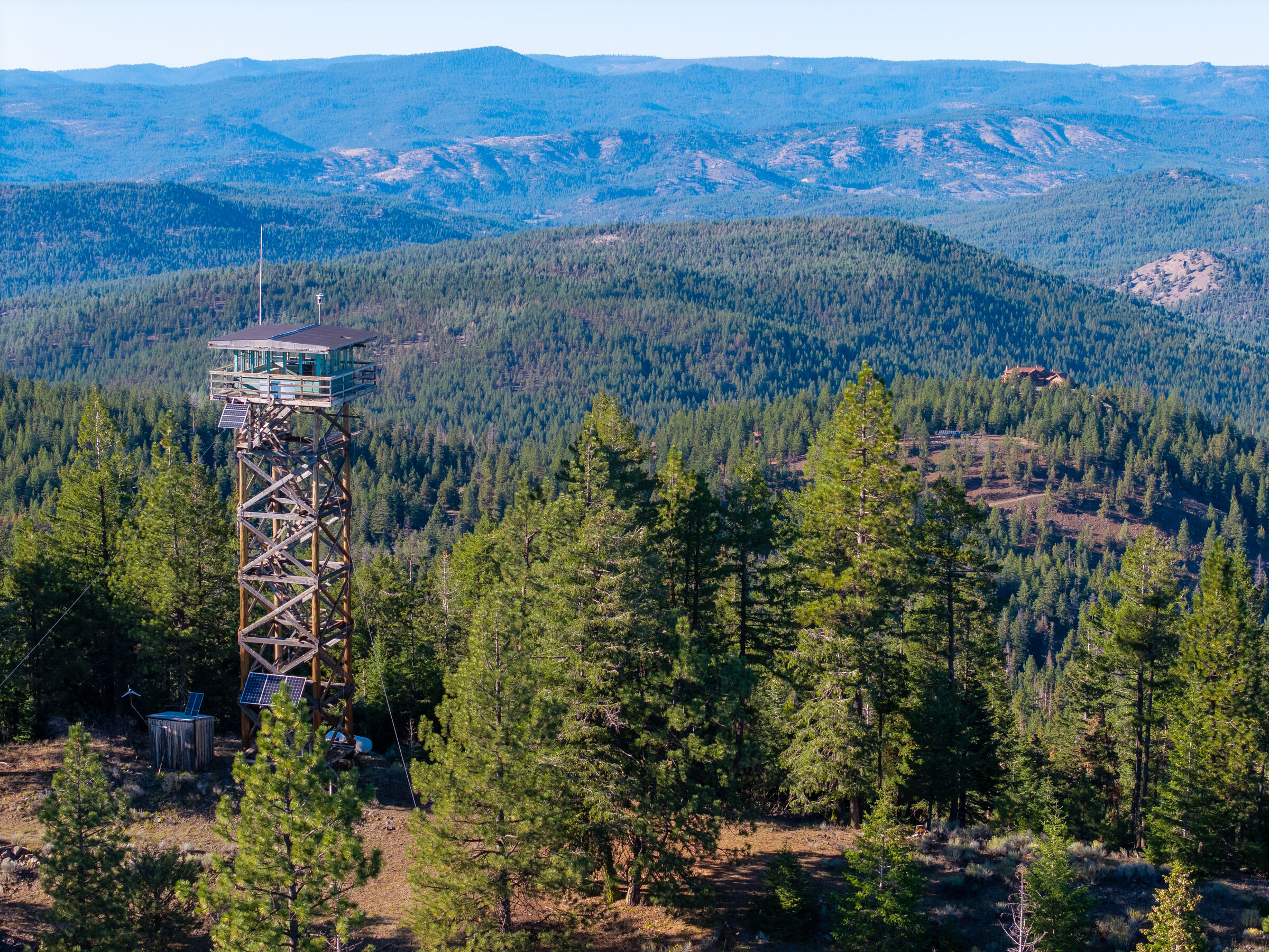
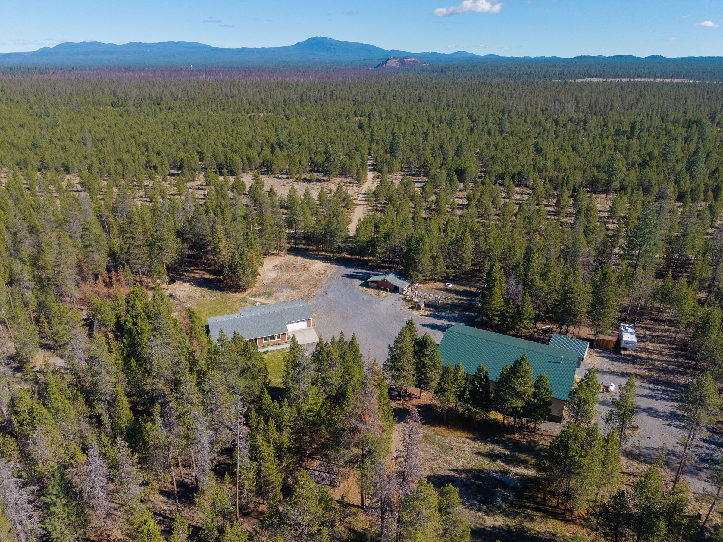
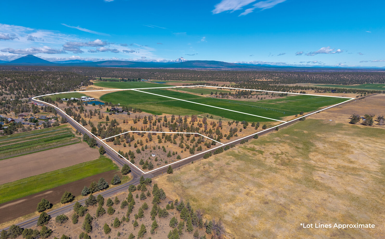
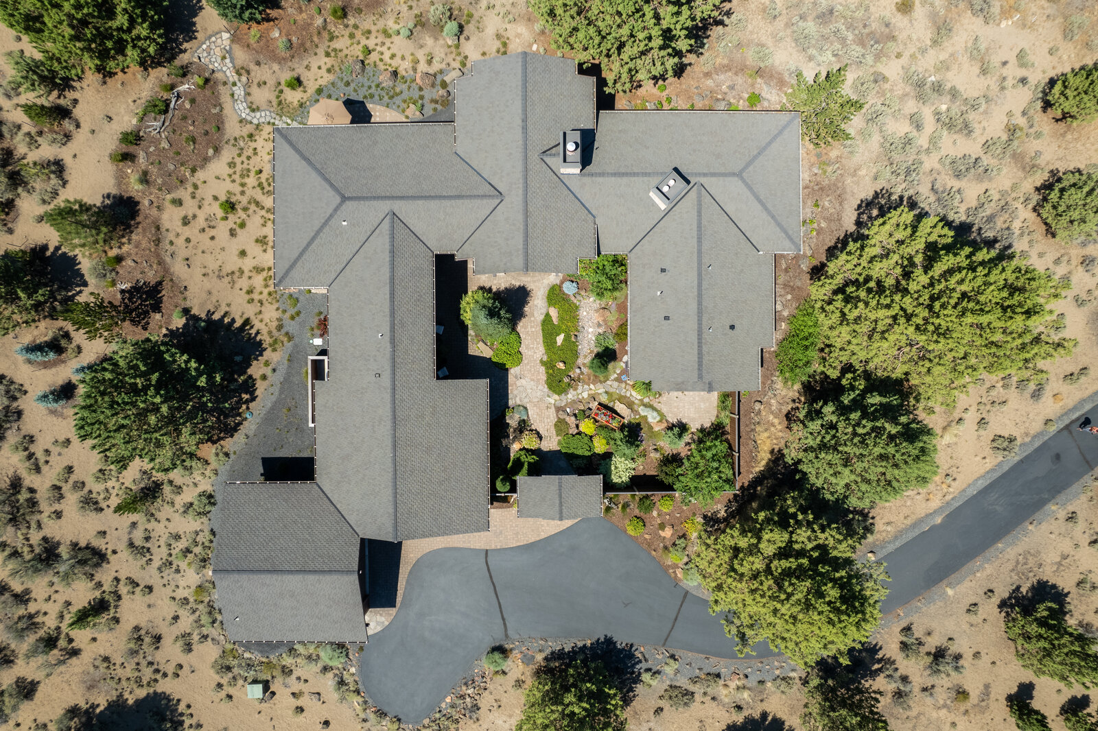
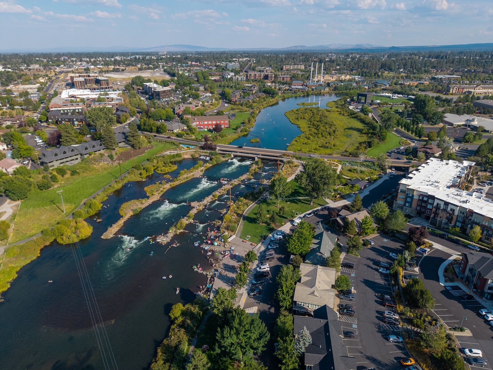
Buyers want context before they commit. Aerial imagery shows the land, layout, and surroundings—giving buyers confidence before they ever step on the property.
WHY INVEST IN PROFESSIONAL DRONE IMAGING
Property Context Matters
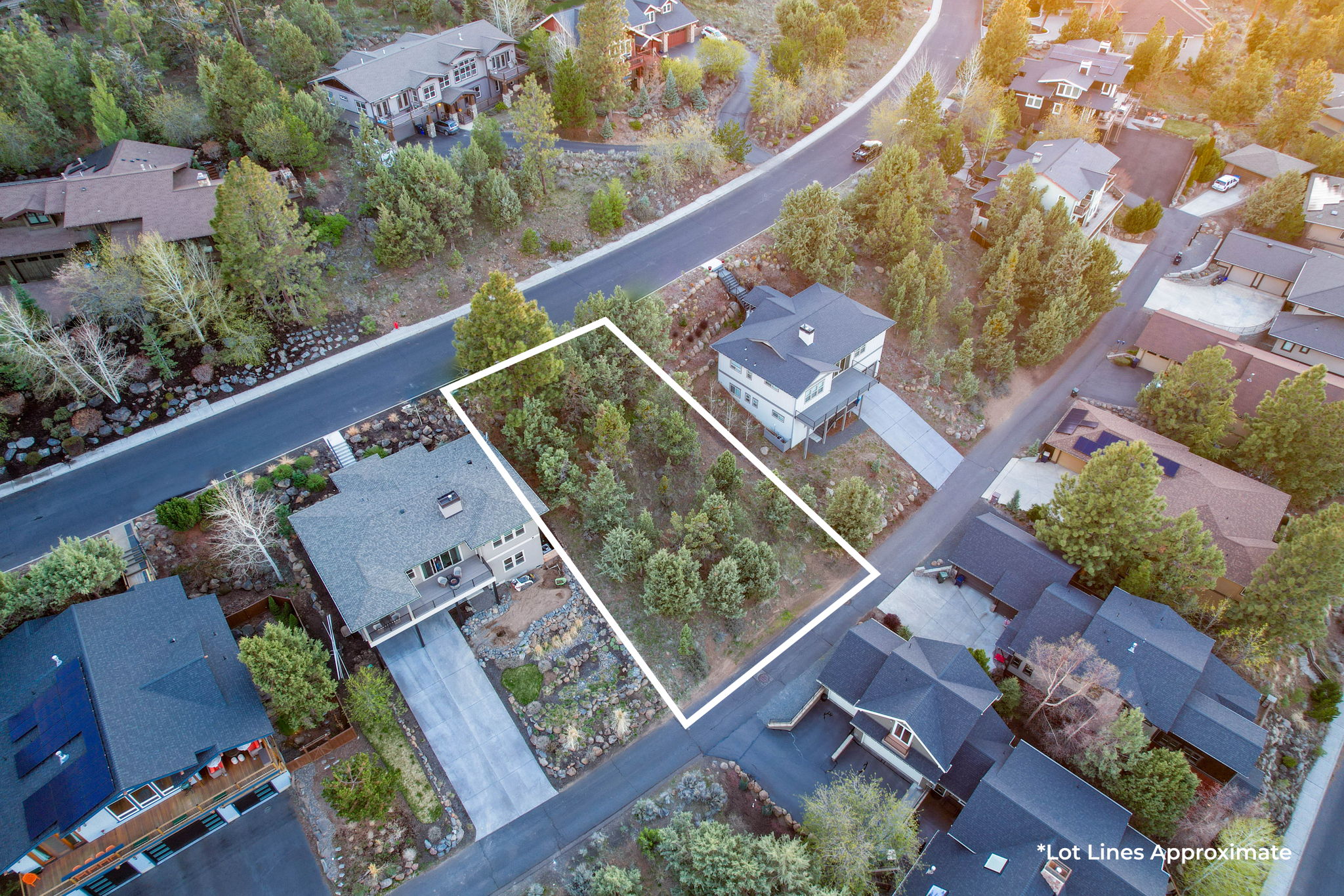
Aerial imagery shows how a property sits on the land—access points, layout, surrounding features, and proximity buyers can’t understand from ground-level photos alone.
Stronger Buyer Engagement
Listings with aerial imagery stand out in crowded feeds. Drone photos increase time spent on listings and help buyers quickly understand what makes a property unique.
Clear Expectations, Fewer Questions
By showing boundaries, spacing, and surroundings upfront, aerial images reduce uncertainty and help buyers arrive informed and confident.
OUR SERVICES
What We Shoot
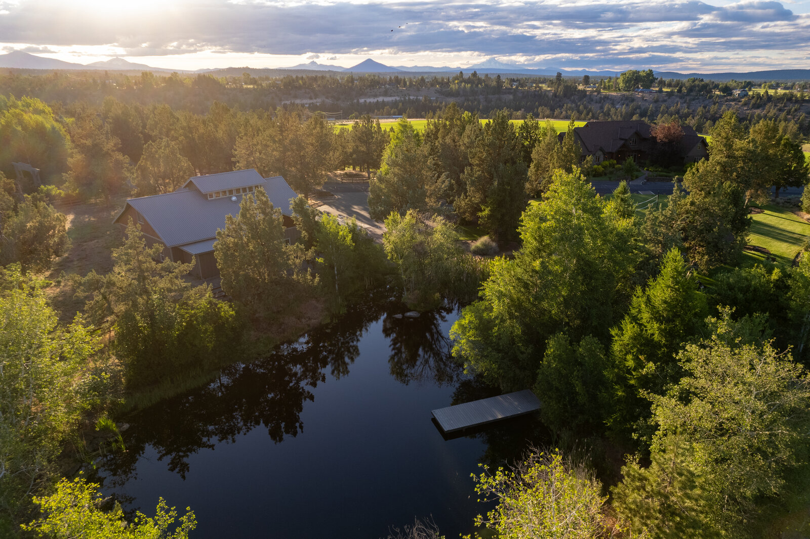
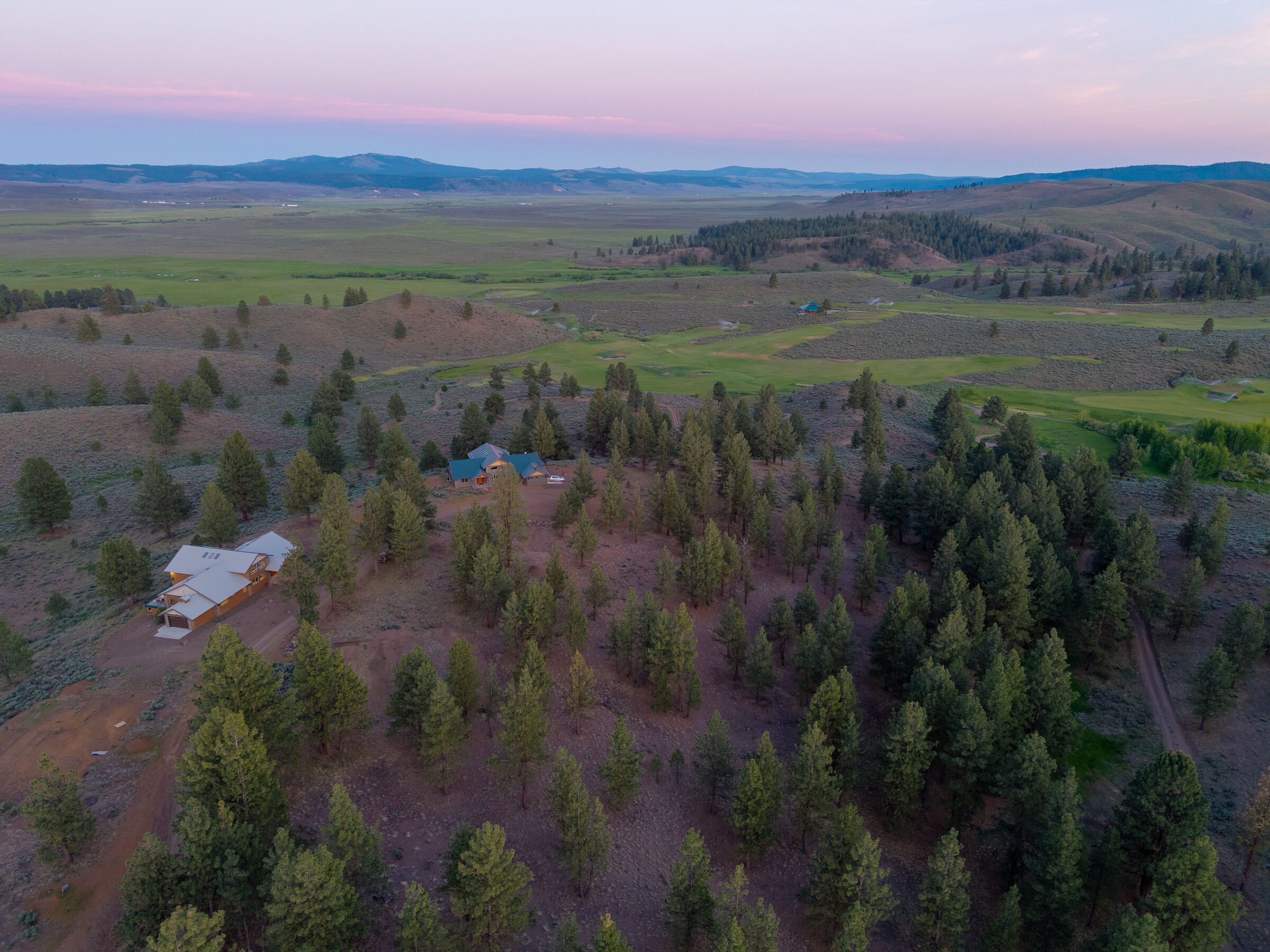
From compact residential lots to large acreage, we use drone imagery to clearly communicate scale, layout, and location.
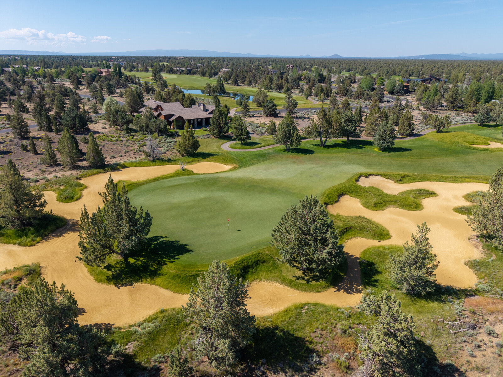
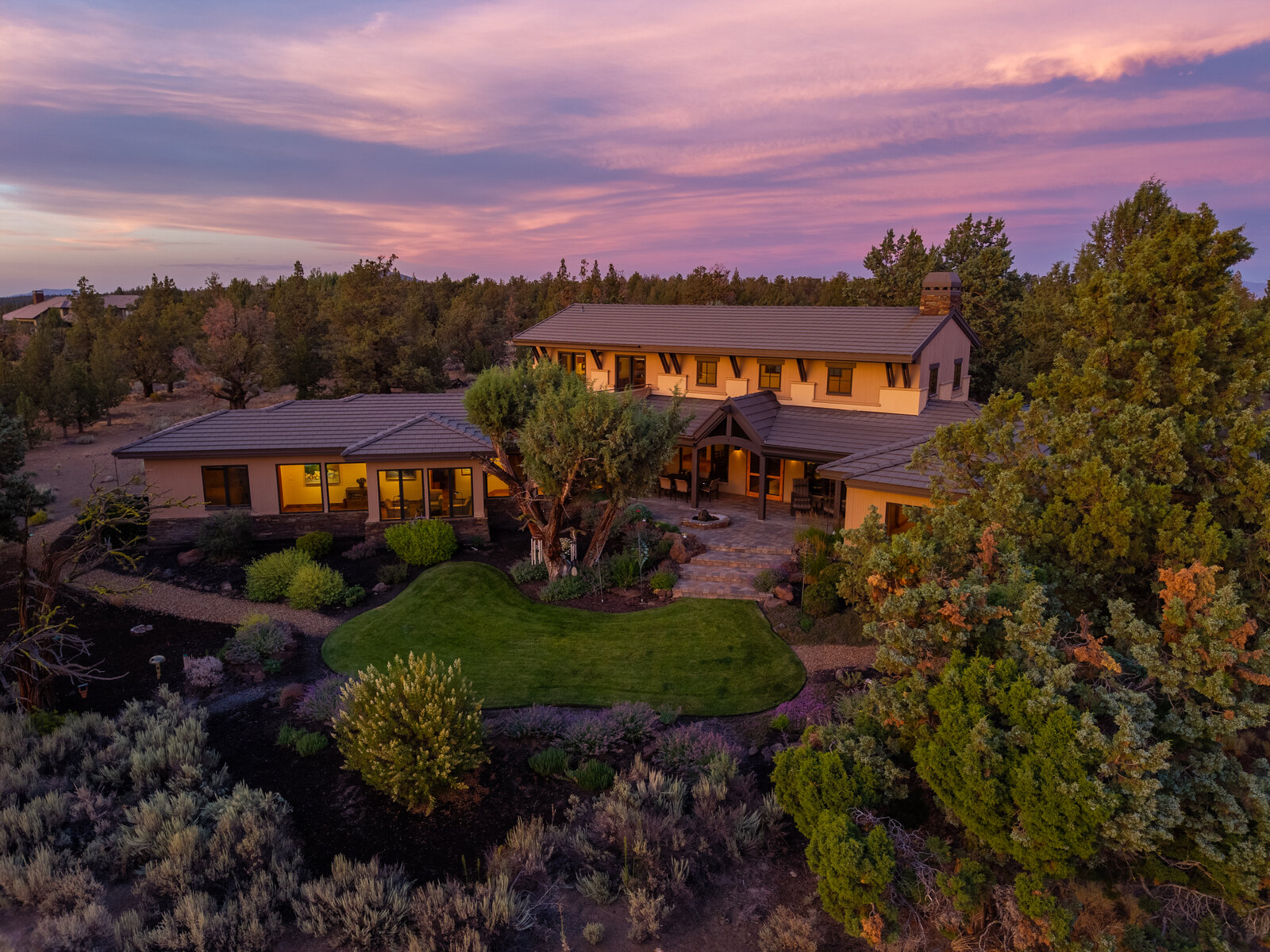
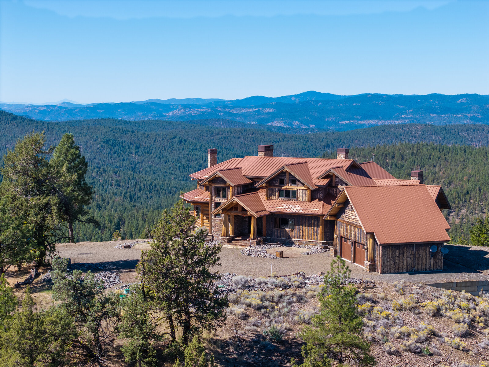
Residential Homes
Aerial views that show lot size, home placement, neighborhood context, and nearby features.
Commercial Properties
Overheadangles that highlight building footprint, access points, parking, and surrounding infrastructure.
Short Term Rentals
Drone imagery that showcases setting, privacy, and proximity to amenities—key decision factors for guests.
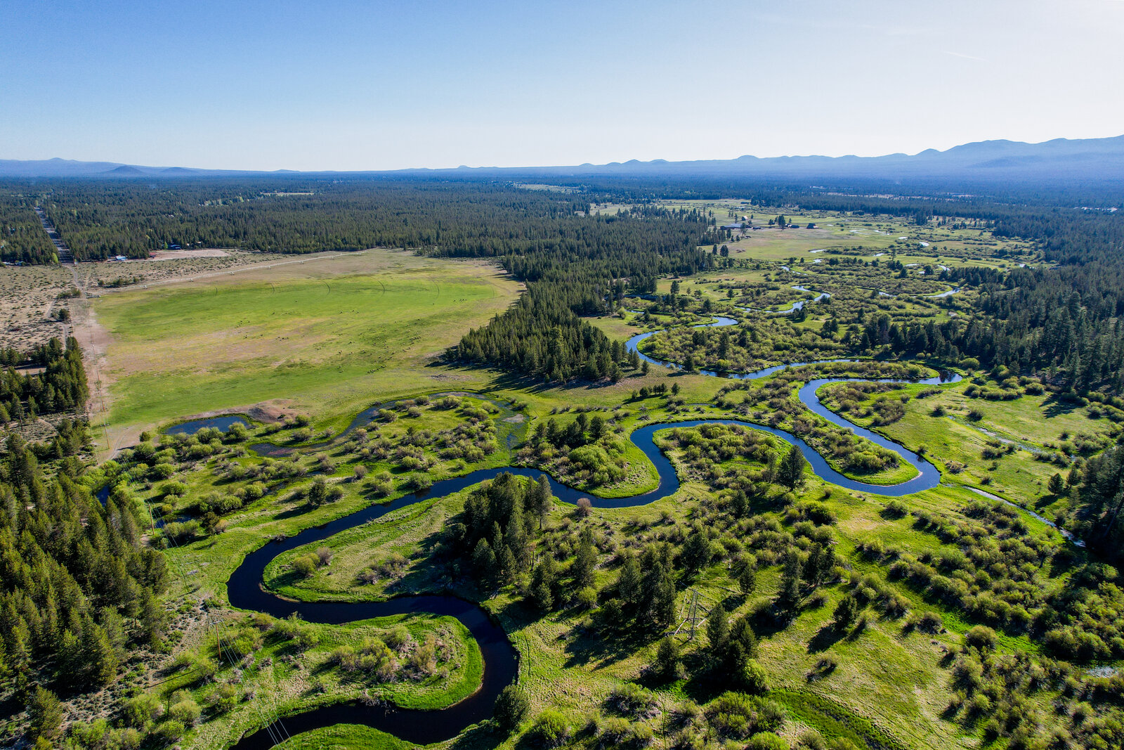
Land & Acreage
Wide aerials designed to communicate boundaries, terrain, access, and usable space at a glance.
New Construction
Progress and finished aerials that document development, layout, and overall site planning.
Multi Family Properties
Clear visuals showing scale, building orientation, shared spaces, and the surrounding area.
Ability and Regulations
Professional drone imagery requires a clear understanding of regulations—paired with the skill to execute flights with precision and intent.
Regulatory Compliance
- FAA Part 107 licensed drone pilot
- Flights conducted in accordance with FAA airspace regulations
- Pre-flight airspace and location review
- Awareness of local flight restrictions and no-fly zones
- MLS-appropriate, non-misleading imagery
- Responsible operation around homes, people, and property
Skilled Aerial Execution
Following regulations is the baseline. Producing effective aerial imagery requires experience, planning, and precise control in the air.
- Intentional flight planning and camera positioning
- Understanding of land layout, access, and scale
- Controlled maneuvering for stable, composed imagery
- Adaptation to wind, lighting, and environmental conditions
- Natural color correction and balanced exposure
- Imagery designed to clearly communicate property context
Trust the Data
Professional drone imagery isn’t just visually impressive—it directly impacts how buyers understand and engage with a property.
94%
more views on listings with aerial images
MLS & HomeJab Industry Data
68%
faster sales with drone imagery
HomeJab Real Estate Drone Study
83%
faster sales with high quality imagery
National Association of Realtors
83%
of sellers prefer agents who use drone photography
PropertyBox Industry Survey
73%
of buyers say aerial views help them understand property layout
Real Estate Visual Marketing Studies
Statistics sourced from national real estate marketing studies, MLS reporting, and consumer behavior research. Results may vary by market and property type.
Our Process
Professional drone imagery is built on planning, regulatory awareness, and precise execution—resulting in aerial visuals that clearly communicate property layout and context.
1
Airspace & Site Review
Before launching, we review airspace classifications, surrounding structures, and site conditions to ensure the flight is approved, safe, and purposeful.
2
Flight Planning & Positioning
Each flight path is planned in advance to capture the most informative angles—showing access points, layout, surroundings, and scale from the air.
3
Controlled Aerial Capture
We fly with precision and intention, adjusting for wind, lighting, and elevation to capture stable, clean imagery that accurately represents the property.
4
Color & Exposure Correction
Aerial images are professionally color-corrected for natural land tones, balanced skies, and consistent exposure—clean, realistic, and MLS-ready.
5
Final Review & Delivery
Every image is reviewed for clarity, accuracy, and compliance before delivery. Files are optimized for MLS, marketing websites, and print use.
Let’s Book
Ready to Elevate Your Listings?
Let's create stunning media that showcases your properties at their absolute best. Book your first shoot today, or reach out with questions.
hello@curblinemedia.com
Phone
541-123-4567
Headquarters
Bend, Oregon